
Spatial Services
Specialising in a range of innovative geospatial services, Everick Geospatial can assist you in harnessing the power of geospatial technology and making reliable data-based business decisions.
WEB MAPPING

Transform static information into an integrated, interactive visual resource on a custom user-friendly platform accessible when and where it is needed.
PREDICTIVE ANALYSIS
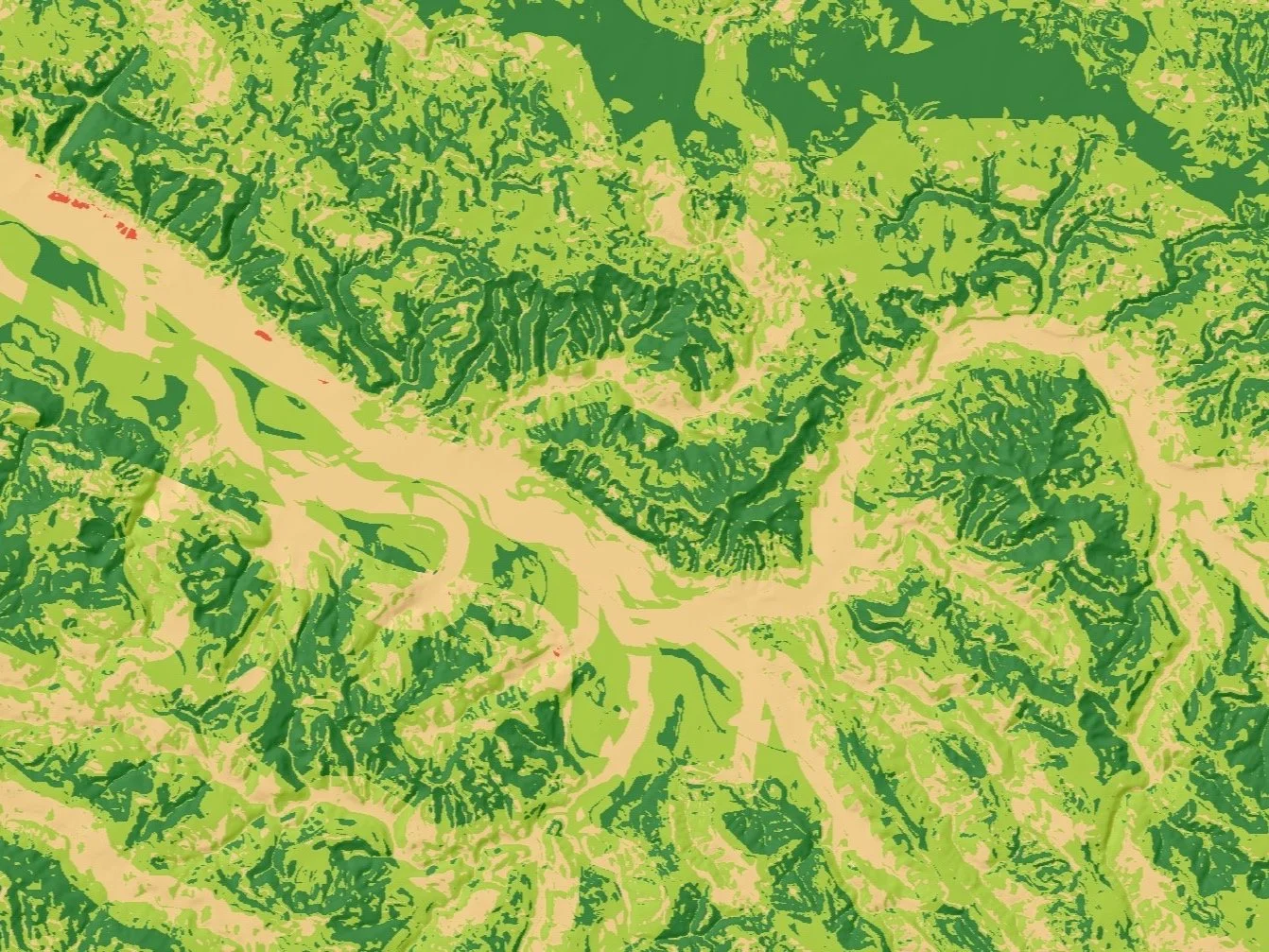
Predictive analysis provides you with a competitive edge by visualising possibilities and enhancing your decision-making confidence.
DRONE REMOTE SENSING

With Remotely Piloted Aircraft (RPA), or drone, technology, Everick Geospatial can efficiently capture high resolution aerial imagery, 3D landscape models and LiDAR data for your project.
RISK MITIGATION SYSTEMS

Everick Geospatial develops custom GIS management systems for effective data management and ease of communication to reduce risk in business operations.
VISUALISATIONS

Effective data visualisation design ensures efficient data use and communication for business from field capture interfaces to board room presentations.
DATA CAPTURE

Developing user friendly procedures and tools to capture data, and all required metadata, with consistency and efficiency.
DATA MANAGEMENT

Everick Geospatial offers services for the entire data management workflow, allowing for smarter and more efficient business operations.
TRAINING & SUPPORT

The Everick Geospatial team provides ongoing support for your project from start to finish, including onsite and remote support, and customised training resources.